Introduction to 3D Data: Modeling with ArcGIS 3D Analyst and Google Earth

该资源由用户: 凌薇酱大魔王 上传  举报不良内容
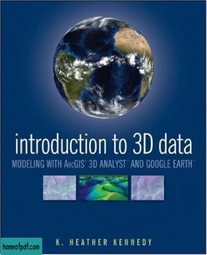
Render three-dimensional data and maps with ease.Written as a self-study workbook, Introduction to 3D Data demystifies the sometimes confusing controls and procedures required for 3D modeling using software packages such as ArcGIS 3D Analyst and Google Earth. Going beyond the manual that comes with the software, this profusely illustrated guide explains how to use ESRI’s ArcGIS 3D Analyst to model and analyze three-dimensional geographical surfaces, create 3D data, and produce displays ranging from topographically realistic maps to 3D scenes and spherical earth-like views.   The engagingly user-friendly instruction:• Walks you through basic concepts of 3D data, progressing to more advanced techniques such as calculating surface area and volume• Introduces you to two major software packages: ArcGIS 3D Analyst (including ArcScene and ArcGlobe) and Google Earth• Reinforces your understanding through in-depth discussions with over thirty hands-on exercises and tutorial datasets on the support website at www.wiley/college/kennedy• Helps you apply the theory with real-world applicationsWhether you’re a student or professional in geology, landscape architecture, transportation system planning, hydrology, or a related field, Introduction to 3D Data   will quickly turn you into a power user of 3D GIS. 

如果您对该资源产生疑虑,欢迎您 点击此处 举报不良内容。 希望我们能共建一个文明社区!感谢您的合作与支持!

扫一扫即可关注本站(PDF之家)微信公众账号
发送您想要找的书籍名称即可找到书籍

Image

本站为非盈利性网站, 但服务器成本高昂, 如果本站内容对您有帮助, 欢迎捐赠, 您的鼓励是我们最大的动力!

大小: 19.2 MB
格式: PDF

声明

本站资源来源于网络及个人用户网盘上传,仅用于分享知识,学习和交流! 本站不保存,不制作,不出售任何图书。请您下载完在24小时内删除。 资源禁用于商业用途!如果您喜欢本站资源,请购买正版,谢谢合作!

标签

3D Introduction Data Modeling ArcGIS Analyst Google Earth

扫码支持一下:

Image Image

猜你喜欢

Introduction to 3D Data: Modeling with ArcGIS 3D Analyst and Google Earth

请输入验证码: