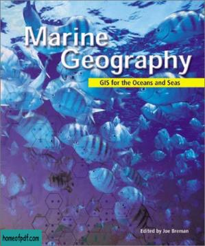
Marine geography- GIS for the oceans and seas
该资源由用户: 心意宛筠 上传 举报不良内容

尊敬的读者:
欢迎您访问我们的网站。本站的初衷是为大家提供一个共享学习资料、交换知识的平台。每位用户都可以将文件上传至网盘并分享。
然而,随着用户上传的资料增多,我们发现部分不宜或版权问题的书籍被分享到了本站。
为此,我们已经关闭了分享入口,并进行了多次书籍审查,但仍有部分内容未能彻底审查到位。
在此,我们恳请广大读者与我们共同监督,如发现任何不宜内容,请 点击此处 进行举报,我们会第一时间处理并下架相关内容。
希望我们能共建一个文明社区!感谢您的理解与支持!
猜你喜欢

《楚辞》洪兴祖 补注典藏版
View more
《楚辞》洪兴祖 补注典藏版

《古诗课》史杰鹏
View more
《古诗课》史杰鹏

《1分钟物理》中科院物理所 珍藏版
View more
《1分钟物理》中科院物理所 珍藏版

《分心也有好人生》[美]爱德华·哈洛韦尔全译修订版
View more
《分心也有好人生》[美]爱德华·哈洛韦尔全译修订版

[英文][经济学人]The_Economist_-_2017-09-09
View more
[英文][经济学人]The_Economist_-_2017-09-09

《历史与看客》张鸣珍藏版
View more
《历史与看客》张鸣珍藏版

《你不是记性差,只是没找对方法》池田义博/孙律中文版
View more
《你不是记性差,只是没找对方法》池田义博/孙律中文版

Web Security for Developers - Malcolm McDonald
View more
Web Security for Developers - Malcolm McDonald

《软文营销实战:让销量倍增的文案写作套路》魏星经典版
View more
《软文营销实战:让销量倍增的文案写作套路》魏星经典版

《陈嘉映经典著作集(套装共7本)》陈嘉映珍藏版
View more
《陈嘉映经典著作集(套装共7本)》陈嘉映珍藏版

《江山永续》周永亮
View more
《江山永续》周永亮

Cloud Application Architectures - George Reese
View more
Cloud Application Architectures - George Reese


